- Nature / Bengkulu
- -3.5219879, 102.612648
- Open in Google Maps
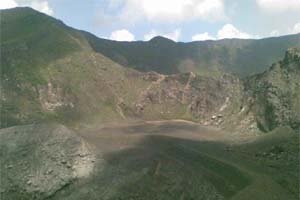
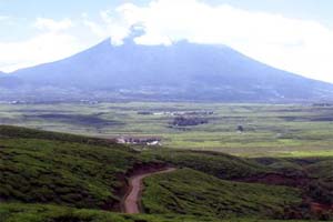
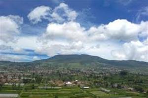
Mount Kaba (Gunung Kaba or sometimes also Bukit Kaba (Kaba Hill)) a 1937m high former volcano and is very suitable for those who like a hiking challenge. It is located west of Bengkulu, more precisely in the Rejang Lebong Subdistrict.
The lower parts of the hills of Mt. Kaba are very fertile and are a major centre for the growth of vegetables and fruit. The large expanse of colorful fruits and vegetables can be seen from a distance. You can hike up the mountain through the forests where you may encounter rare wildlife. At the top of the mountain you can see on a clear day Curup City, the mountains cluster of Bukit Barisan, Bukit Bungkuk, till as far as Bukit Telunjuk.
Mount Kaba itself has volcanic craters that can give off acid and sulfur.
Mt Kaba is a twin volcano with Gunung Hitam (Black Mountain) which has been dormant for quite some time. At the peak of Mt Kaba are three beautiful craters. The climb from the foot of the hill towards the top will take about 6 hours. If you leave in the evening and walk up the mountain in the night you also enjoy the beautiful sunrise at the top of the mountain. Be sure to get a guide if you plan to do this.
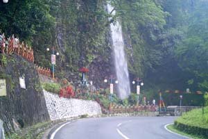
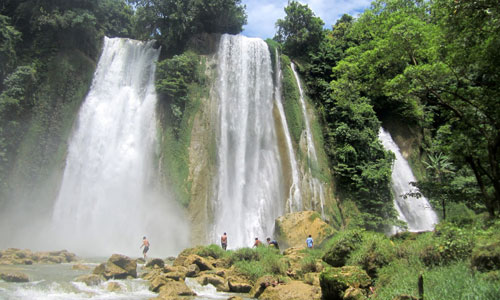
The craters are beautiful and surrounded by green hills so an endless landscape of nature lies before you. To complete your nature consumption there is a waterfall on the side of the hill.
There are stairs on the Kawah Lama (Old Crater) to get to the other craters in the summit. To complete your visit you can relax after a long day walk at the hot springs Air Meles (on the southwest slope) or Air Sempiang (on the southern slope).
Transport options Mount Kaba
The Mountain is suitated approximately 90km west of Bengkulu near the city of Curup. To get there take a bus in Bengkulu to Curup (2 hours Rp. 25.000), from there continue by bus to Kampung Bukit Kaba (1 hour, Rp.10.000).


